Hill

Quick Links
Status
Township in Shropshire, Brimstree Hundred and in Halesowen Ancient Parish, which was Worcestershire and Shropshire until 1844 but entirely Worcestershire thereafter. Transferred to Worcestershire (Halfshire Hundred) in 1844 for civil purposes. A separate Civil Parish in 1866 in Worcestershire. Abolished in 1919 to help create Hill & Cakemore Civil Parish [25]
Location
O.S. Ref: SO975850
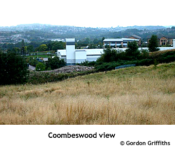
½ mile N.E. of Halesowen, between present day Halesowen & Blackheath, including Coombswood, Leasows & Mucklow Hill. [29]
Census Records
All the censuses between 1841 and 1901 are now available on a number of fee-paying (Subscription or PayAsYouGo) sites including Ancestry.co.uk, FindMyPast.co.uk, thegenealogist.co.uk and genesreunited.co.uk. The 1911 census is available in full or in part on some of these sites. We are unable to advise on the choice of site since researchers' personal preferences will be influenced by the content and search facilities offered by each site. Some sites offer a free trial.
Access to the library edition of Ancestry.co.uk is widely available at most record offices, including Worcestershire Archives, and some libraries. You are advised to book time on their computers before making a visit.
A free-to-view site is being developed at freecen.org.uk for the 1841, 1851, 1861, 1871 and 1891 censuses. Coverage of Worcestershire parishes is rather sparse at this time.
Census returns can usually be viewed at Church of Jesus Christ of Latter Day Saints' Family History Centres.
Some repositories offer census details on microform, disc or printed copy. These include:
1841 Dudley Archives & Local History Service
1851-1901 at Worcestershire Archives [14]
Other Sources
Coombeswood 1914 (Ordnance Survey Map) [Map] - Published Newcastle upon Tyne : Alan Godfrey, 1998 - Author: Ordnance Survey Society of Genealogists
Last Updated: 21/07/2012


